A few months ago, Our archery marshal, Derega called a meeting to talk about how we wanted to do the shoot. The proverbial slate was clean for the conversation, and all of us brought ideas. It was actually Leslie who first sewed the seed for the idea when she mentioned the board game Risk. We didn't immediately latch onto it, but after a few more idea were floated and then brought down, hers kept coming up.
With the event being themed after "the field of cloth and gold", we decided that a map shoot based on the various wars between England and France would be best.
 |
| Leslie, a regular at the archery practices |
 |
| Kawamoto, grade-A lost-arrow finder, and fellow archer. |
All of us wanted to see this happen, but Derega really was the driving force, asking, reminding and budgeting for it. When Triumph planning turned into preparation, we set aside an archery meeting and went to work making the plan a reality.
 |
| You can see the scale of the map best here. |
 |
| Derega detailing the map before we added the capitols. |
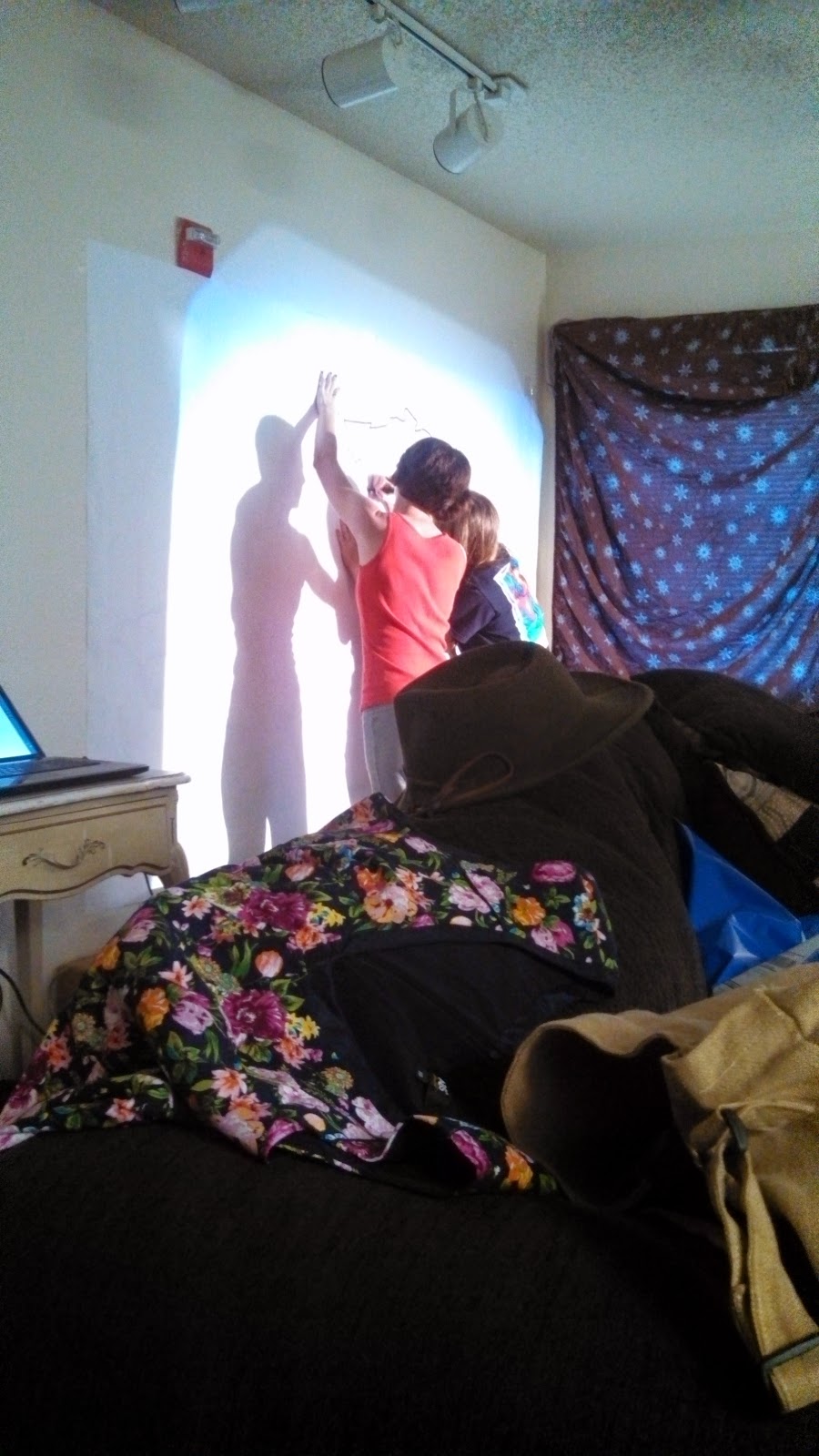
The process was a lot of guesswork, but Derega had gone out of her way to find maps with historical borders. of the counties, duckies and baronies of both kingdoms. Using an overhead projector, and a commandeered apartment (we sort of invaded the senechal's place) we went to work taking about 4 different maps, turning them into overheads, and then making them into one very large map.
I admit, I really didn't know what to expect when I got there, but I'm always glad to support archery. We used a slew of different markers, some tape, and a lot of patience (some more than others) to trace out map line after map line.
 |
| Another of Derega, this time killing a red Sharpie marker with the capitols of the English baronies and counties. |
The maps look (I didn't put a tape to them) to each be about 4 feet tall and 6 or 7 long. They show England and France, and as we drew them North was largely to the left. There had been some talk of coloring them in, but the scale and scope of that didn't sit well with Derega, and in retrospect I think it was best do do it how we did, with the "capitols" colored in Red and Blue respectively, but the rest left for black lines and white space.
Once we had a good map drawn, the act of copying it was actually simple, we draped another piece of butcher paper on top of the first one and traced it. it wasn't quite "photocopy" level work, but damned good in its own right.
 |
| Derega standing next to the final project.(that's probably as close to a "smile" as I'll ever be able to capture on camera with her) |
All told, I was actually very surprised as how well the activity went, and how the final products turned out. And yes, by the time any of you read this Triumph will have come and past, and we will all get to compare how planning and reality met in the middle.
Honorable Lord Ivo Blackhawk
Mooneschaodwe Minister for Arts and Sciences
Kingdom of Ansteorra
"Long Live the King"
No comments:
Post a Comment